by EFAS Dissemination Centre.
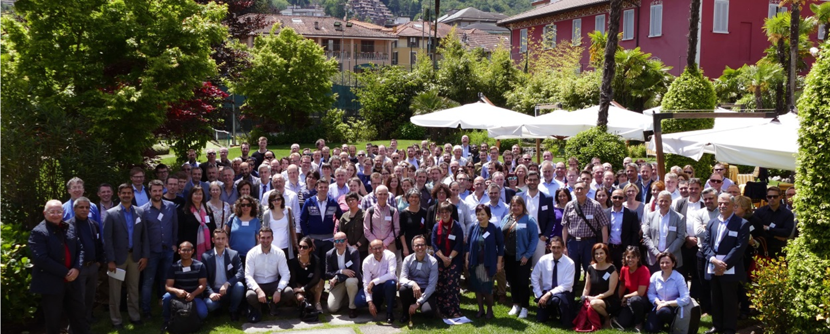
More than 200 people participated at the Copernicus Emergency Management Service (CEMS) 2019 annual meeting which took place in Stresa (Italy) on May 21-22. The meeting was organized by the Joint Research Centre (JRC) with the support from DG ECHO and DG GROW of the European Commission. CEMS provides information for emergency response in relation to different types of disasters, including meteorological hazards, geophysical hazards, deliberate and accidental man-made disasters and other humanitarian disasters as well as prevention, preparedness, response and recovery activities. The CEMS is composed of an on-demand mapping component providing rapid maps for emergency response and risk and recovery maps for prevention and planning and of the early warning and monitoring component which includes systems for floods, droughts and forest fires. Information about monitored and forecasted disasters is also disseminated to the European Emergency Response Coordination Centre (ERCC) to decide upon activation of aid mechanisms.
The European Flood Awareness System (EFAS) forms a central component of the CEMS-Flooding service and met this year for the14th time, with 84 participants from more than 50 partner organisations and 6 poster presentations. The meeting this year focused on the new EFAS-IS, updates to the feedback mechanism, downloading and integrating EFAS data and the on-going 6 hourly calibration of LISFLOOD. Four parallel workshop sessions were held giving all partners opportunities to learn about new products and features and to contribute to the future development of the EFAS.
Joint sessions
The CEMS meeting was introduced by representatives from each of the five disciplines - risk & recovery mapping, rapid mapping, flood, forest fires and drought early warning & management - and followed by key note speeches by Roger Pulwarty, NOAA (Climate change, disaster risk and adaptation), Stefan Voigt, German Aerospace Center, DLR (The future of satellite mapping for disasters) and Florian Pappenberger, ECMWF (The future of weather hazards forecasting). A joint session was later held between the satellite mapping and EFAS communities, focussing on the role of the image pre-tasking for Rapid Mapping and examples of flood delineation along the Elbe and Vltava catchment.
Achievements during the last year
The EFAS DISS presented the five new partners that have joined EFAS since the last annual meeting - The National Environmental Agency of Georgia (NEA), Georgia; The Icelandic Meteorological Office (IMO), Iceland; Agenzia Regionale per la Protezione dell’Ambiente della Lombardia (ARPA Lombardia), Italy; Dipartimentodella ProtezioneCivile, Italy; and Confederación Hidrográfica del Segura (CH Segura), Spain - and provided a preliminary analysis of partner satisfaction over the period. It was also stressed that partners should take the opportunity to request EFAS training within their own institute, building on the successful training delivered to the Hydrometeorological Research Centre of Russia in 2018.
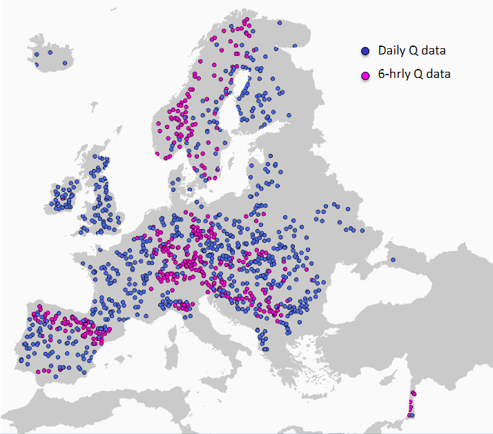
The HDCC presented their successful mission to Georgia, after which the hydrological network in EFAS has been expanded considerably. In total, more than 1500 stations have been incorporated into the EFAS network during 2018 and 2019, predominantly from France, Iceland and Spain, but also Slovakia, Estonia, Croatia, Lithuania and Georgia. The shift towards 6 hourly observations from the current daily aggregation was also presented, to support the on-going 6-hourly calibration of the LISFLOOD model. Similarly, the MDCC presented their work in generating 6 hourly grids of precipitation and temperature to support the new 6-hourly LISFLOOD model, and also incorporation of new data providers from Meteo Swiss, Meteo Luxembourg, IMGW Poland, Finland FMI, the Environment Agency, England and Kosovo HMI.
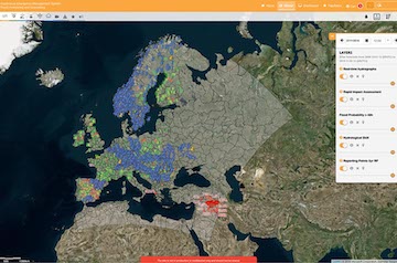
Finally, EFAS COMP presented their extensive work in updating the EFAS interface (EFAS-IS) and new website, which was released in early 2019. In addition, the extended domain was made available in May 2018 and evapotranspiration routines were modified to use the Penman-Montieth formulation in early 2019 (LISVAP), with improvements primarily to the ERIC and seasonal forecast products. Improvements were also made to Reporting Point generation, alongside other "behind-the-scenes" changes that have optimised the operational system.
Feedback
EFAS DISS presented the new feedback procedure that has been introduced alongside the new EFAS-IS. Feedback can now be left directly within the interface, by either following a link within the formal notification email or, in the case of missed events, by clicking on the map viewer. It is hoped that this improvement will facilitate the feedback process and in doing so improve the quality of EFAS notifications.
What's next for EFAS?
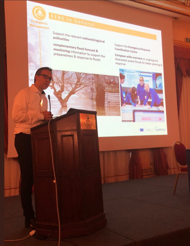
Peter Salamon of the JRC presented the main developments that are planned for EFAS during the next year. These included:
- a move to a 6-hourly temporal resolution
- introduction of so-called fixed reporting points that are located at river gauges and can be queried at any time
- the SMUFF project, which will provide rapidly updating high resolution nowcasts of flash flood hazard within EFAS
- introduction of version control within EFAS
- improvements to data access for EFAS, via the ECMWF MARS archive and WMS-T and SOS services
- availability of the LISFLOOD source code as an open source model
A session on open data was also held, following on from the fruitful discussion held during the previous annual meeting in Sweden in 2018. A case study was presented by the German meteorological institute (DWD), demonstrating the positive aspects of moving towards a more open data policy. The proposal presented by the JRC represents a compromise of the initial proposal presented one year ago, with more limited access to real-time datasets - focussing primarily on datasets used for model initialisation - and no provision of forecast products. A formal proposal and vote is planned for 2020's annual meeting.
Cinzia Mazzetti of the ECMWF provided a more detailed summary of the changes being made as part of the 6-hourly LISFLOOD calibration on the second day of the meeting. The calibration is based on 1150 stations (compared to 572 in the previous calibration), 359 of which include 6 hourly data, and is automated and run on the ECMWF's HPC cluster. Parameters that have been calibrated include groundwater constants, percolation and infiltration coefficients, soil bypass flow, snow melt, Manning's coefficients and reservoir adjustments. Initial results show significant improvement in the presented representative catchments in the Rhine and Po basins, with NSE and KGE criteria consistently between 0.7 and 0.8, compared to previously 0.1 to 0.6. The new calibration and the 6-hourly model is planned to be released in 2020.
Workshops
Parallel workshops were held, focussing on:
- The new EFAS interface
- Downloading and integrating EFAS data
Attendees were divided into smaller groups for the first workshop, and given the opportunity to provide feedback on the new EFAS interface and discuss potential improvements that can be made moving forwards. It was clear from all participants that the new interface is seen as a considerable improvement, providing a solid foundation for future product development within the EFAS system. A prioritised list of potential improvements will now be collated by both the EFAS DISS, COMP and JRC and included in a future development plan.
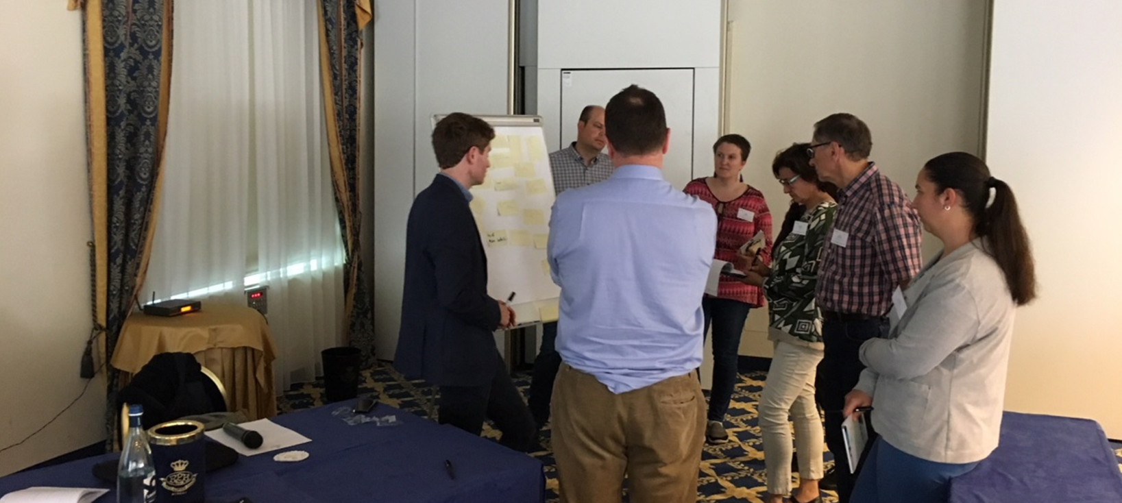
In the second workshop, partners were given the opportunity to look at new tools developed by COMP that will enable EFAS data to be more easily integrated their own operational systems. It is hoped that the tools can now be tested and feedback provided, to improve the dissemination of EFAS products.
Summary
The joint CEMS meeting concluded with a message to all participants from Peter Billing of the DG ECHO, outlining the importance of the CEMS initiative at both the European and global scales and emphasising its uniqueness within the field of emergency management. The success of a joint meeting was immediately clear, with many networking opportunities and knowledge sharing across different disciplines. It is hoped that this can be repeated in the near future.
Presentations
Below you can find the presentations given at the 14th EFAS Annual meeting:
Status of EFAS operational – experiences, issues, challenges:
- Dissemination Centre
- Hydrological Data Collection Centre
- Meteorological Data Collection Centre
- Computational Centre
Cross-centre matters
- How to provide feedback and report missed events? (Bettina Matti, SMHI)
- What’s next for EFAS (Peter Salamon, JRC)
Joint EFAS & Mapping session:
- EFAS based image pre-tasking for Rapid Mapping (Annett Wania, Peter Salamon, JRC)
- Risk and Recovery Mapping examples on flood events: Delineation and analyses of the Elbe/Vltava catchment (Martin Socher, Saxon State Ministry of the Environment and Agriculture)
EFAS and open data
- Intro (Peter Salamon, JRC)
- Experience of Deutscher Wetterdienst with the new open data policy (Frank Kaspar, DWD)
Development projects
- EFAS 6-hourly calibration (Cinzia Mazzetti, ECMWF)
- SMuFF project (Christel Prudhomme, ECMWF)
- Discussion on new developments or improvements for EFAS (incl. summary of relevant replies to the survey) (Ilias Pechlivanidis, DISS)
Workshops
- Downloading and integrating EFAS data (Christel Prudhomme, ECMWF)
- The new EFAS web interface (Richard Alpfjord Wylde, SMHI and Maurizio Latini, ECMWF)
For presentations from the other EMS components please follow their respective link:
- EDO/GDO Annual Meeting
- Annual EMS Mapping User Workshop
- 39th Expert Group on Forest Fire Meeting (presentations are stored on the EC CIRCABC platform)
