Skip to main content
Search
Navigazione principale
About
Products
Data access
Collaborate
News and events
Resources
Training
Notifications
EFAS Wiki
News
News
2024-06-05
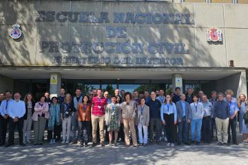
International workshop on the use of EDERA products and functionalities
News
2024-05-30
RESOLVED - Issue with EFAS version 5 - error in the initial conditions
News
2024-05-28
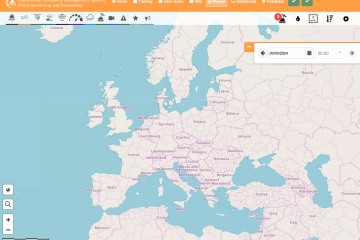
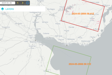
Minor GFM update for the visualization of the anomaly detection
News
2024-05-10
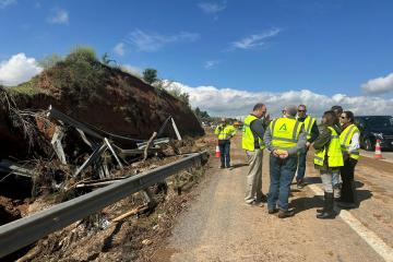
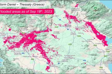
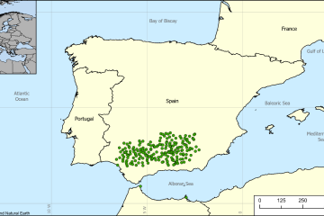
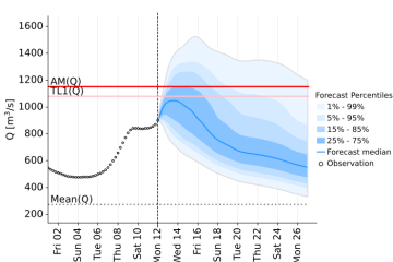
Flooding in Andalusia, Spain - April 2024
News
2024-04-12
GFM Bug-fix release
News
2024-04-11
Floods in France, March 2024
News
2024-04-11
CEMS MDCC integrated meteorological station data from ARPA Lombardia (Italy)
News
2024-04-03
CEMS EFAS Training for Slovenia (ARSO) and Croatia (DHMZ)
News
2024-03-19
CEMS MDCC integrated meteorological station data from SAIH del Guadalquivir (Spain)
News
2024-03-14
Release of new EFAS version 5.1
Pagination
Previous page
‹‹
Page 8
Next page
››
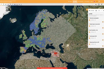
Map viewer
Training