Skip to main content
Search
Navigazione principale
About
Products
Data access
Collaborate
News and events
Resources
Training
Notifications
EFAS Wiki
News
News
2021-11-25
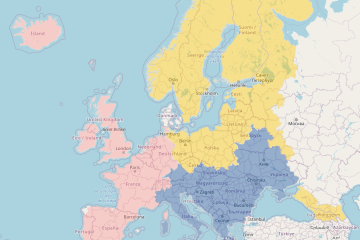
New EFAS partner in Germany
News
2021-10-28
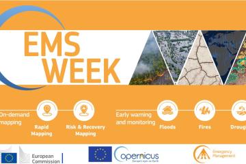
CEMS week 2021: Floods sessions (EFAS, GloFAS & GFM)
News
2021-10-25
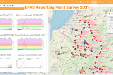
EFAS Reporting Point Survey 2021
News
2021-10-21
Two new EFAS partners
News
2021-10-21
Release of New EFAS version 4.3
News
2021-10-07
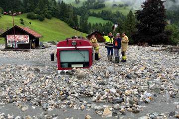
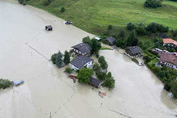
Flash Floods in Southern Germany, Austria, and Northern Italy - August 2021
News
2021-08-23
EFAS Partner Survey 2020
News
2021-08-19
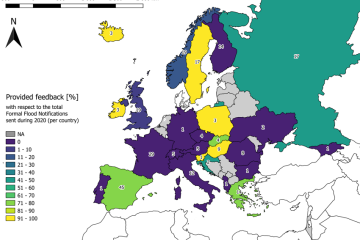
Feedback on EFAS notifications for 2020
News
2021-08-18
Three new EFAS partners
News
2021-08-10
Widespread European flooding, July 2021
Pagination
Previous page
‹‹
Page 19
Next page
››
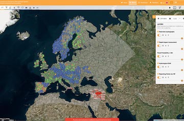
Map viewer
Training