by Richard Davies, FloodList
Devastating flash floods hit the areas of Mandra, Nea Peramos and Megara in West Attica, Greece on Wednesday, 15 November 2017. The floods were some of the worst in the region’s history and Greek Civil Protection described the situation as unprecedented. The General Secretary for Civil Protection declared the area a State of Emergency.
Deaths, Rescues, Evacuations
Fire services said that on 15 November they received 984 calls for assistance and rescued 96 people from flooded homes or cars in the affected areas of Nea Peramos, Mandra and Megara. The Fire Service set up a team of over 150 personnel operating with around 50 vehicles in order to deal with the situation.
By late 15 November, a total of fifteen deaths had been reported. This number increased during the following days as emergency services recovered more bodies. As of 21 November, over 20 people had lost their lives in the flooding. The Prime Minister declared a three-day national mourning for those who lost their lives in the tragedy.
Damage
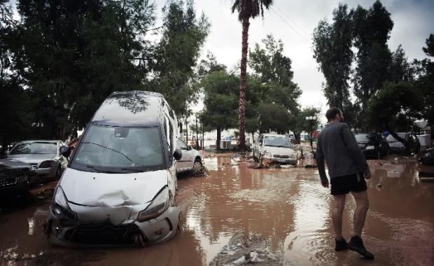
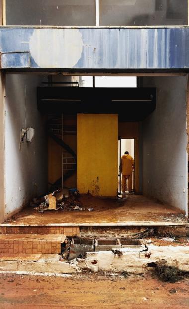
Local media reported that the heavy rain had turned roads into raging torrents. Cars were overturned or dragged along streets. Hundreds of homes were damaged and power supply cut. Many roads were blocked, including the Athens-Korinthos highway. Images of the aftermath showed affected areas swamped with mud and debris. Special technical departments of the Ministry of Infrastructure and Transport carried out inspections in the wake of the flooding and found that a total of 955 buildings had been damaged, including over 600 homes, over 300 businesses and 7 public buildings. The government announced that owners of buildings found to have suffered damage will be entitled to compensation.
Rain
The heavy rainfall was extremely localised. Metar.gr reported that 67.2 mm of rain fell in 24 hours in Vilia, municipality Mandra-Eidyllia, West Attica between 14 and 15 November 2017. Accuweather figures for the Moni Panachrantou weather station, 74 mm of rain fell in 24 hours to 16 November and a further 64 mm the following day. Moni Panachrantou is located about 5 km away from Megara, up a steep 800-metre rise.

Copernicus
Copernicus Emergency Management Service was activated (EMSR257) on 19 November, 2017, to provide maps of the affected areas. Copernicus EMS Mapping products will be used mainly by the local authorities (Region of Attika, Municipalities) for recovery and restoration planning of the affected area.

