Skip to main content
Search
Navigazione principale
About
Products
Data access
Collaborate
News and events
Resources
Training
Notifications
EFAS Wiki
News
News
2018-01-10
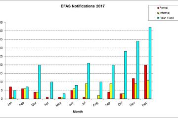
A summary of EFAS notifications in 2017 and comparison with previous years
News
2018-01-02
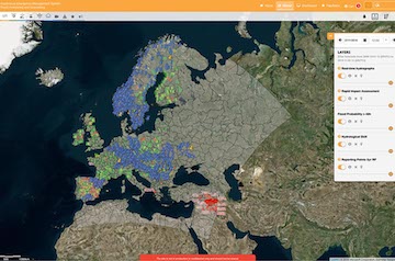
New features
News
2017-12-12
UCPM-EWS meeting, 11 December, Ispra, Italy
News
2017-11-23
Copernicus cross service meeting between EMS and the C3S, 22 November, Reading, UK
News
2017-11-22
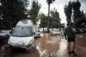
Case study: Floods in the Attica Region, Greece, November 2017
News
2017-11-21
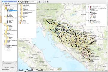
New feature - Flood Forecasting and Warning System in the Sava River Basin
News
2017-11-20
New partners
News
2017-11-18
FATHUM meeting, 16-17 November, Ispra, Italy
News
2017-11-16
3rd Copernicus in situ data coordination workshop 15 November 2017, Copenhagen
News
2017-11-11
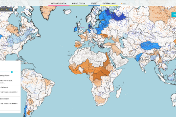
New developments - GloFAS seasonal outlook
Pagination
Previous page
‹‹
Page 34
Next page
››
Map viewer
Training